Riveroflife
Posts by :



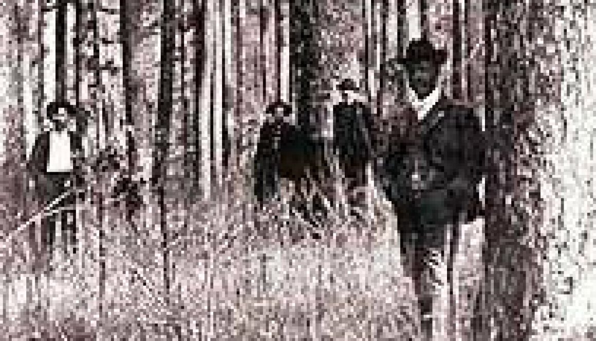
The Big Mill on the Bryant Creek at MO 95
The following tale is told by David Haenke, following a visit with Noble Barker:
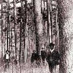
In May 1996 I visited with Noble Barker. He told me the story of the Big Mill and the pine forest. Noble’s grandfather came to this country in the 1830s, the time of the first pioneers. The span of Noble Barker’s generational memory through his grandfather goes back to the time of transition from the Indians to the settlers. The Barker family story is also the story of the history of the pine forest. In Noble’s words:
“The Landers and the Barkers got together in 1917 and formed the Landers and Barker Lumber Company. In 1922 the company built the Big Mill. The Big Mill included a sawmill, dry kiln, and planing mill.” The Big Mill was located along Cane Bottom Hollow near the Bryant. This is the hollow on the south side of the Bryant where Highway 95 runs today.
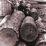
“The mill was the center of a small town which included a company store and office, a blacksmith shop, horse and mule barn, and 27 ‘sawmill shacks’. Pine logs cut in the woods were between one and two feet in diameter. They were cut by crews of two or three men who used a crosscut saw to bring down the trees. A mule skinner would then skid the logs out to a landing, where they were loaded on a wagon bound for the mill.
“Fifty men worked at the mill. They used milling wastes for boiler fuel. All the machinery was powered by steam. The operation was built so the logs could be piled at the top of the hollow, then rolled down to the mill.
“Sawn lumber was taken to the company lumber yard in Mountain Grove by wagon, and later by truck. Wagons took two days to make the round trip, trucks a half day. Today it takes an hour and a half to make the drive. The mill and settlement thrived from 1922 to 1929. By 1929 the big pine was all cut. They packed up the mill and moved it to Texas County.”
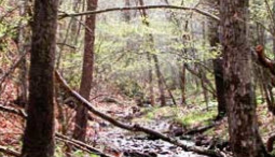
Making Tar at Kiln Hollow on the Bryant Creek
Click to enlarge
David Haenke of Brixey says, “This land loves pine, and pine loves this land.” In 1853-54 B.F. Shumard, of the State Geological Survey, estimated a pine forest of over ninety square miles along mid to upper Bryant Creek. He told of many sawmills producing lumber that was hauled by ox team to Springfield and Bolivar.
Tar Kiln Hollow, where they made tar in kilns, was near an old wagon road along the Bryant. A kiln is an oven for heating materials without letting them burn up.
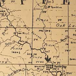
This part of an 1841 Geological Map of Ozark County shows “Pines” in the Rockbridge and Cane Bottom Hollow area. This was before large-scale logging.
Large-scale logging of pine began around here when the railroad came to Mountain Grove in 1880. Most likely, the land around Tar Kiln Holler was heavily logged between 1922 and 1929. That’s when the Big Mill, literally a small town with the mill as its center, operated along Cane Bottom Hollow. That’s where the #95 Bridge crosses the Bryant today.
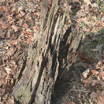
Logging left stumps with sap-filled heartwood, good for making tar. People used tar for waterproofing all kinds of things, from roofs to tarps. It was spread on wounds in animals. It was anti-bacterial and, like a bandage, made a tough, flexible covering.
The sap in this stump has preserved the heartwood since the 1950’s, or before.
Local men would split heartwood from pine stumps into stove-size pieces. Then they would stack them on an iron plate about a yard square. They’d put a large iron kettle upside down over the plate with the pieces of pine inside. This was to keep oxygen away from the wood so it could heat without burning. They would pile slash (waste branches left from the logging) over the whole thing and set it on fire. They fed the fire, letting it slowly burn for several hours. The pine sap would heat up, trickle out of the wood, and collect on the bottom of the plate. The plate had a central groove to drain the sap away and into a pot or jar for storage.
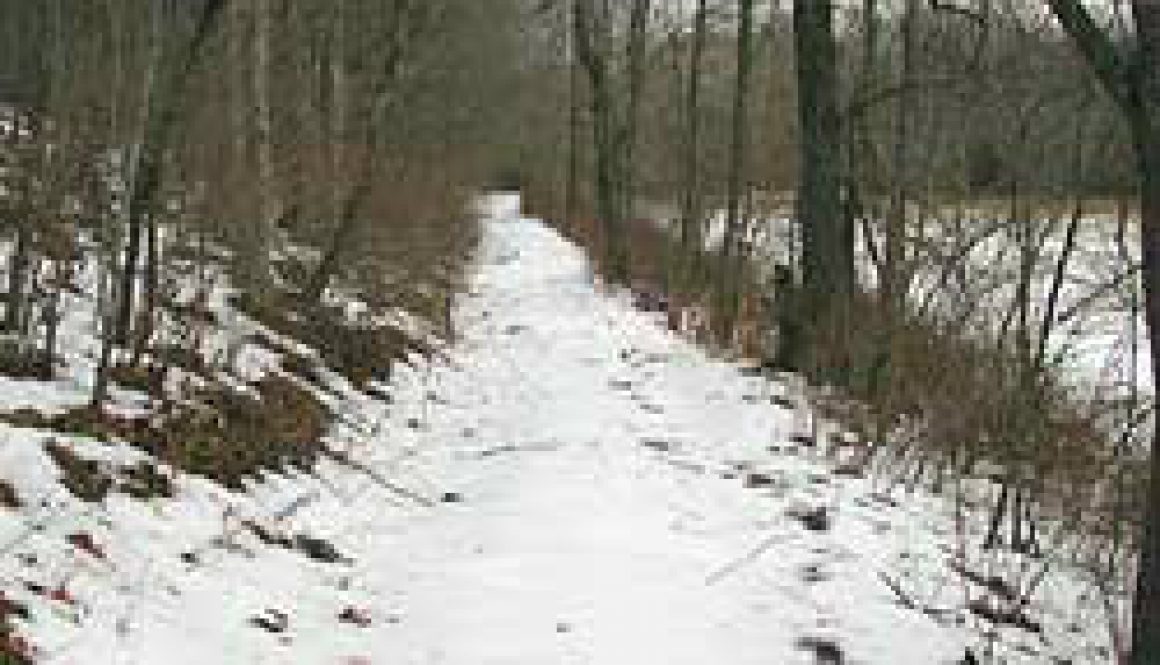
Old Wagon Road along the Bryant Creek
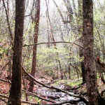
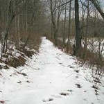
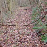
The Old River Road alongBryant Creek was part of the wagon route from Springfield to West Plains.
Here we follow it a short way along the Bryant’s west bank.


