Floating the North Fork in the mid-1960’s PART One of Five
In was early spring 1964 and I had just finished a 18 mile float trip on the Current River with a friend, Steve Klicke, who was 2 years older than me. He had a wealth of river experience and was excellent at canoeing on rivers. I also admired his knowledge of the outdoors and his ability with a fishing rod. His family was from the Big Piney watershed, where they had a farm. The purpose was to get ready for the Current River tandem races in May. I met several people at the event on that day, that connected me to Oz Hawksley, who, at the time, was putting together Missouri Ozark Waterways, a publication that would map the Missouri Ozark Streams. I received an assignment prior to my first year of college. Map, chart, and explore, the North Fork or the White River and the Bryant Creek, during June and July 1965.
I agreed and begin to excitedly prepare for an June departure. My parents were nervous about all the things that could go wrong on a float that long. I grew up at the junction of the Meramec River and Huzzah Creek and they were all to familiar with flash floods, strainers (log jams that the river flows through that can easily trap you or your boat), venomous snakes, weather, heat exhaustion, etc., but in the end, it was their knowledge of these things that gave them the courage to let me go; in other words, I had already experienced all of that too.
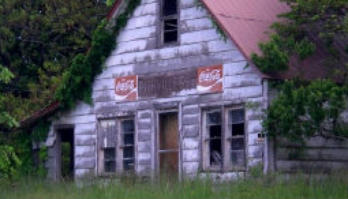
The Ozarks of Missouri and Arkansas was a different place the early 1960’s than it is today. The rural way of life had not yet be sliced away. Small farms were marginally profitable, people were, almost always, friendly and honest and a little suspicious. There were still general stores in almost every community, where you could procure the goods you needed, and working farms still dotted the river valleys. The drive to the North Fork from St. Louis also took about 2-3 hours longer in 1964-1965 than it does today.
Monday June 15th, 1964
Our plan was to leave St. Louis Monday June 15th early in the morning and spend the day getting to the the takeout point; the Tecumseh bridge over Norfork Lake, leaving Steve’s car there, then driving back up to the Highway HH bridge (Highway 76 today). We had permission to camp in a large hayfield just downstream from the bridge. By 7:00 PM we had our tent pitched; and left our gear packed up and the canoe still on top of my 1959 Buick, Steve’s car was left at Tecumseh by the bridge. Our canoe was an Old Town Guide special order at 17′ (the normal was 16′). I suspect they used a modified OTCA mold with less upsweep in the ends and no keel. My brother and I bought it from the Old Town Canoe Company in 1964 for 388.00. At the time that was my entire savings. Even though a Grumman Aluminum canoe would have cost us almost $205 less, it did not want one. The Old Town was beautiful and made with the most perfect white cedar ribs and planked with red cedar; and had a gorgeous canvas covering of green and have cane woven seats. We also had 3 fairly new, beautifully made, Old Town beavertail paddles and a canvas patch kit.
The trip from St. Louis to the lake and back up to the put in, point took 14 hours total. We ran through 2 heavy thundershowers before arriving at the camping spot. On the way back we stopped at the Crossroads Store (still there but closed and across the gravel road from the original store) as of May 2009 (45 years later). We bought enough food and ice for at least 3-4 days sand carefully packed it in a cooler and dry-box. Food in those days consisted of a few steaks, eggs, bacon, lunch meat, bread, lots of tomatoes, potatoes, beans, a head of lettuce, and onion, and a large jar of mayonnaise, matches, and a small can of crisco in case we were able to string some large goggle-eye. Even back then, neither of us had the heart to do anything but release smallmouth bass we caught, carefully unharmed back into the river. After the 3-4 day period we were not sure what we were going to do about food. Our expectation was to spend about 2 weeks on the North Fork; mapping, charting, and writing. Additionally we had a one year old canoe tent from Sears, not light, not convenient, but we figured it would keep us and our supplies dry. We carried onboard a fly-rod, a F.E. Thomas Special, 8′ long and we took along with it a D and E weight, double tapered lines; and a box full of leaders, spinners, and streamers and a jar of pork rind fly-strip and of course a stringer.
In the spring and early summer of 1965 the area farmers enjoyed more than usual amounts of rain, which left the North Fork, in very nice floating condition into June, even as far up in the headwaters as we were. In fact, a decision was made by Steve K and I that evening, to go 5 miles further up and put in above Highway HH. A local farmer was to drive us up 5.5 miles (halfway back to Cabool) and put us in early the next morning, allowing us to float back to our parked car during Day One. We quickly found some dry firewood, cooked a steak and beans, eat and cleaned up. Steve K had a couple of cold Budweisers in the cooler that he taken from his Dad’s refrigerator. But in the end, neither of us had a church-key, so they were left alone this evening. As darkness began to fall in the valley, we safely stored all our highway maps, arial photography taken the summer before, and 1:62,500 contour maps away; and climbed into out sleeping bags with a hanging flashlight, which allowed us to read and plan for morning. It was not hard to fall asleep that night and I still remember the vociferous whippoorwills; dozens of them singing right outside our tent until nearly midnight. I was awakened only once by a barred owl and finally the whippoorwills again at dawns first light. I do not think Steve K moved once all night.

